


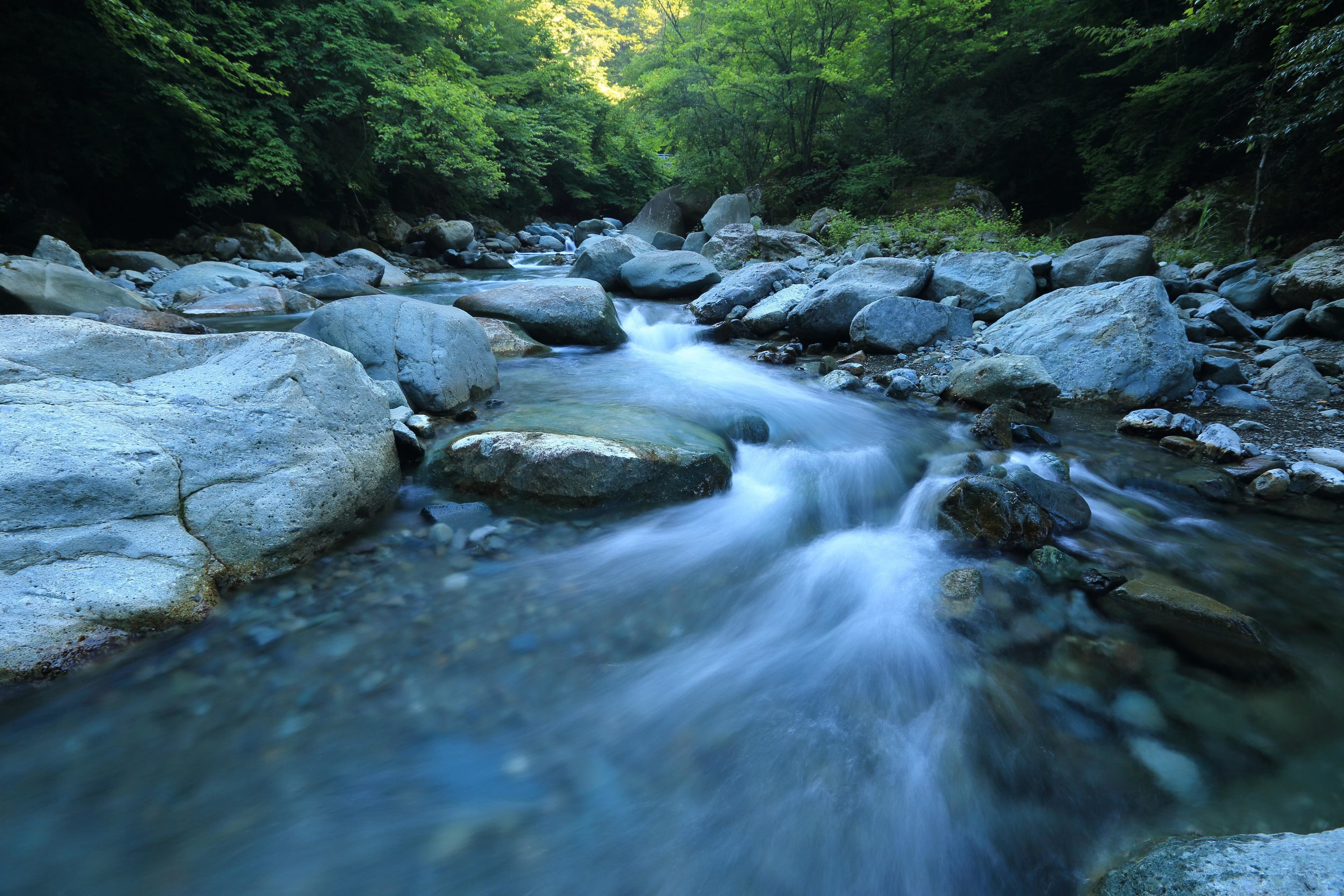
Water, the fundamental component of life, is becoming a primary driver of geopolitical instability. The world’s freshwater is not evenly distributed; its availability is dictated by the immutable logic of geography—river basins, aquifer systems, and climatic zones. As population growth and climate change intensify pressure on these finite resources, a new map of global power is being drawn, not by political borders, but by hydrological ones. By 2025, it is projected that over half of the world’s population will reside in water-stressed areas, a reality that transforms water management from an environmental issue into a critical security imperative.
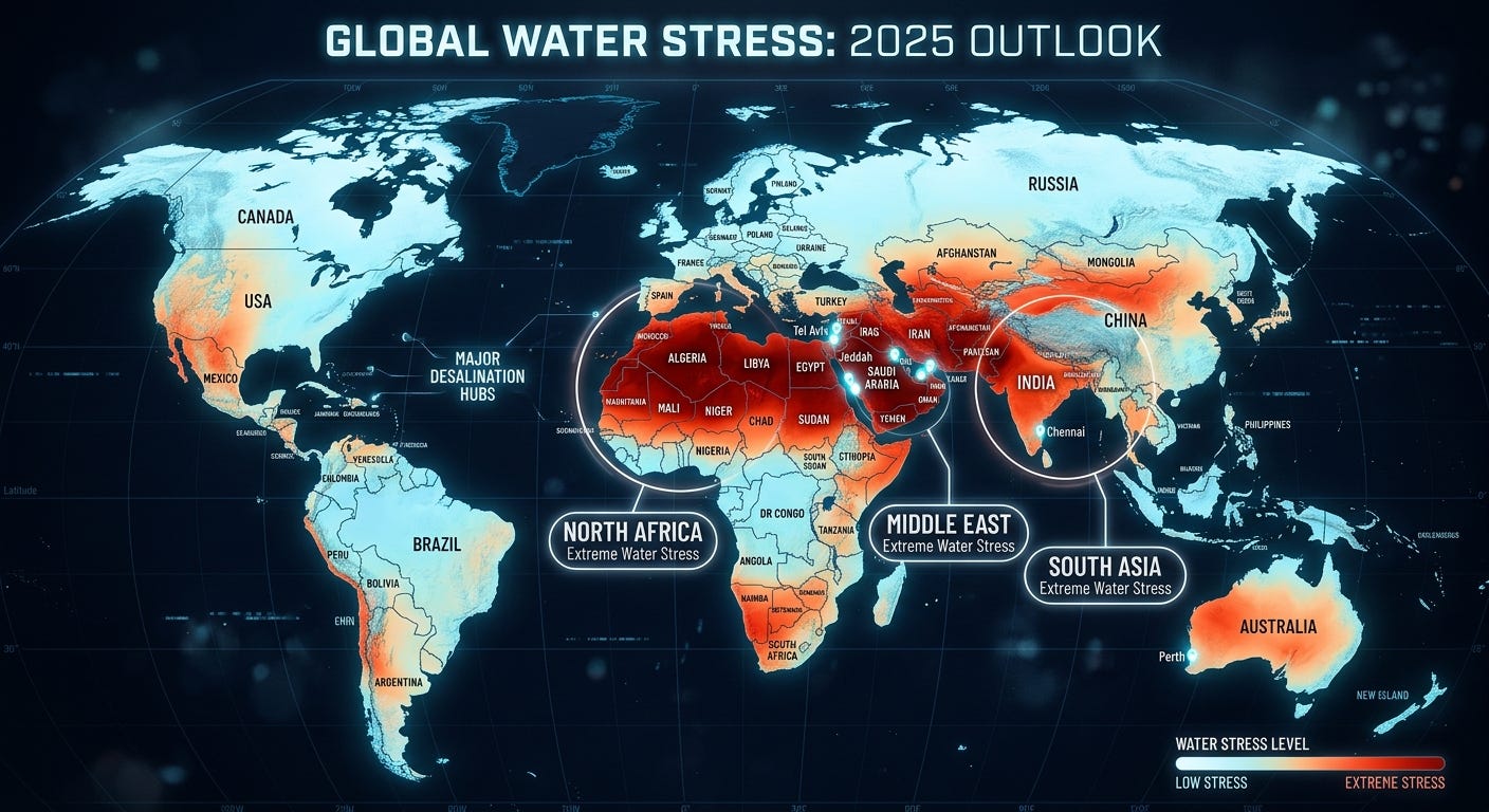
Analysis of global water stress reveals a stark geographic divergence. The crisis is most acute in a band of arid and semi-arid nations stretching from North Africa through the Middle East and into South Asia. According to 2025 data, countries like Kuwait, the United Arab Emirates, and Saudi Arabia exhibit extreme stress levels, withdrawing multiples of their renewable freshwater supplies annually. Kuwait, for example, uses the equivalent of 3,850% of its renewable water supply, a deficit managed through energy-intensive desalination and the depletion of non-renewable groundwater. This geographic concentration of scarcity creates a vulnerability that ripples through global food and energy markets. These regions, critical to the world’s energy supply, are increasingly dependent on imported food, a trade flow that is itself a massive transfer of ‘virtual water’.
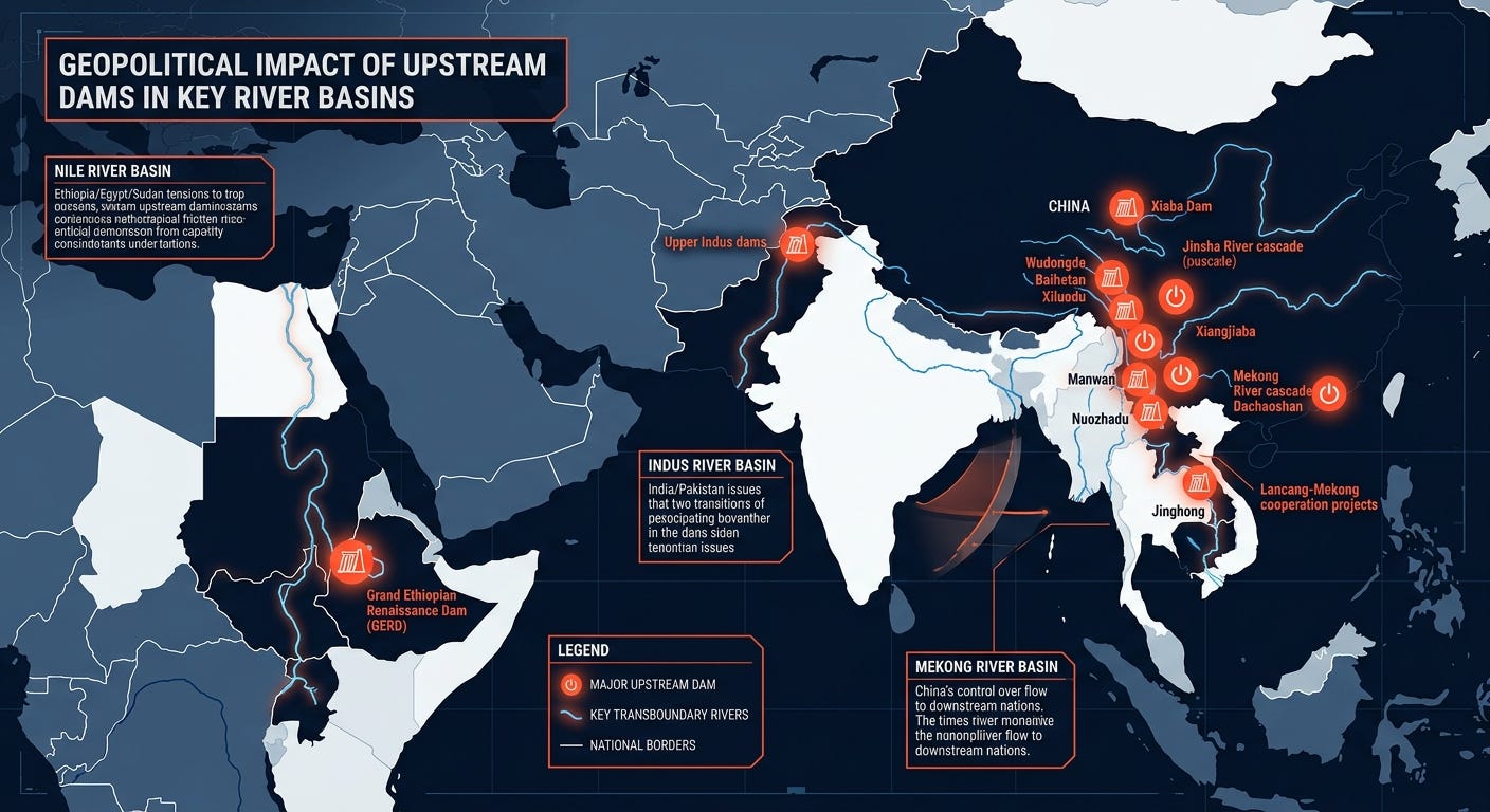
The geography of surface water is dominated by transboundary river basins, which sustain over half the world’s population and are becoming potent arenas for geopolitical competition. More than 310 river basins cross national borders, creating a complex web of upstream and downstream dependencies. Nowhere is this more apparent than the Nile, Indus, and Mekong river basins.
In the Nile Basin, the Grand Ethiopian Renaissance Dam (GERD) has fundamentally altered the hydro-political landscape. Situated on the Blue Nile in Ethiopia, which contributes approximately 85% of the Nile’s total flow, the dam challenges Egypt’s historical dominance over the river’s resources. For Egypt, a nation where over 95% of the population lives along the Nile’s banks and which relies on the river for more than 97% of its fresh water, any unilateral control of upstream flows by Ethiopia is perceived as an existential threat. The conflict is a direct consequence of geography: Ethiopia’s highlands provide the water, while Egypt’s arid civilization depends on its downstream passage.
A similar dynamic governs the Indus River Basin, a lifeline for both India and Pakistan. The Indus Waters Treaty of 1960, which has survived multiple wars, is now under unprecedented strain. Tensions escalated in 2025 when India suspended the treaty following a militant attack, threatening to weaponize its upstream position. With Pakistan’s agriculture almost entirely dependent on Indus irrigation and the basin’s aquifer being the second most over-stressed in the world, the geographical leverage held by the upstream riparian state (India) is immense and poses a significant risk to regional stability.
In Southeast Asia, the Mekong River flows from China through five other nations, creating another geopolitical flashpoint. China’s construction of 11 dams on the upper Mekong grants it significant control over the water that nurtures the agriculture and fisheries of downstream countries like Vietnam, Cambodia, and Thailand. This ‘hydro-hegemony’ allows China to influence the economic and food security of its southern neighbors, turning water flow into a tool of statecraft.

Beneath the surface, an invisible crisis is unfolding. The world’s great aquifers—subterranean layers of water-bearing rock—are being depleted at unsustainable rates. These groundwater systems, which supply drinking water to billions and underpin global food production, are being drained far faster than they can be replenished by rainfall. The geography of this depletion is concentrated in the world’s primary breadbaskets.
The Ogallala Aquifer, underlying eight states in the U.S. Great Plains, is a prime example. It supports 30% of all groundwater used for irrigation in the United States, driving a $35 billion agricultural economy. However, since the 1950s, intensive pumping has reduced its saturated volume, with water levels dropping by as much as five feet per year in some areas. Because the aquifer recharges at a rate of only about one inch per year, this extraction of ‘fossil water’ amounts to a managed depletion of a finite resource, with profound implications for future food security.
This pattern is repeated globally. The Indus Basin, shared by India and Pakistan, and the North China Plain Aquifer are experiencing similar rapid declines. These aquifers support the food production for over a billion people. Their depletion represents not just a future water crisis, but an imminent threat to the global food supply chain. The economic consequences are severe; failing to manage this scarcity could trigger GDP losses of 6-12% in India and China by 2050.
The spatial dynamics of water scarcity are a defining feature of 21st-century geopolitics. While overt ‘water wars’ remain rare, water is increasingly a source of leverage, a driver of instability, and a catalyst for conflict. The geography is clear: upstream nations and those with advanced technology like desalination hold significant advantages. Downstream nations and those reliant on rain-fed agriculture or depleting aquifers face a future of increasing vulnerability. Understanding the world’s hydrological map is no longer an academic exercise; it is essential for anticipating and navigating the escalating competition for the planet’s most vital resource.